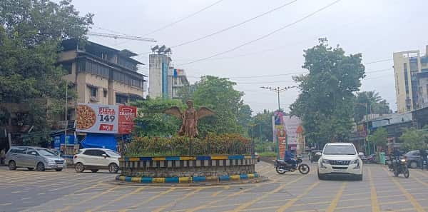
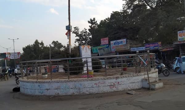
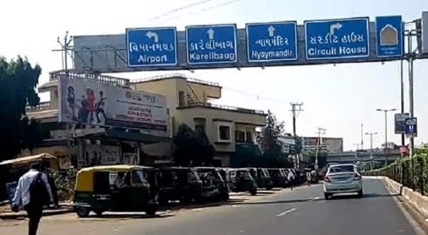
Shantipura Circle — the key residential roundabout in the Shantipura locality of western Ahmedabad, in the Sarkhej–Vejalpur periphery — is a growing neighbourhood junction serving the emerging residential belt of Shantipura, which has rapidly developed as an affordable, well-connected residential option on Ahmedabad’s western growth corridor. Located in PIN 382210 (Sarkhej Post Office area), Shantipura sits between the prominent Sarkhej zone and the new township developments of Shela and Sanathal — bounded by the Sardar Vallabhbhai Patel Ring Road (SP Ring Road) and the National Highways NH-48 and NH-8A. Described as a “developed residential locality in Ahmedabad West” offering “a mix of affordable 2 BHK and 3 BHK apartments,” Shantipura’s appeal lies in its strategic position on SP Ring Road and the direct road access to both the Sardar Vallabhbhai Patel International Airport (approximately 7 kilometres north) and the Sarkhej–Sanand industrial corridor (important for professionals in Sanand GIDC). Sanathal Railway Station and Sarkhej Railway Station are both cited as the nearest rail access points to Shantipura. AMTS Route 31/5 serves Shantipura — the first bus at the Shantipura stop at 6:56 AM and the last at 9:59 PM. The nearest Metro access is via Line 2 (Red Line) at the Jivraj Park Metro Station, approximately 3 kilometres from the circle.

Shantipura Circle Location
Address: Shantipura Circle, Shantipura, Sarkhej Road / SP Ring Road Zone, Vejalpur, Ahmedabad, Gujarat — 382210
- Pin Code: 382210
- Post Office: Sarkhej
- STD Code: 079
- Administrative Zone: Ellis Bridge Assembly Constituency — Ahmedabad Municipal Corporation (AMC) / Ahmedabad West Lok Sabha Constituency
| Reference Point | Distance |
| Shantipura Cross Road | 1.6 kilometres |
| LJ University | 2 kilometres |
| SoBo Centre Mall | 2 kilometres |
| Sarkhej Circle (Ujala Circle) | 3 kilometres |
| Jivraj Park Metro Station (Line 2) | 3 kilometres |
| Sarkhej Railway Station | 3 kilometres |
| Sanathal Railway Station | 3.5 kilometres |
| Sardar Vallabhbhai Patel International Airport | 7 kilometres |
| Ahmedabad Railway Station (Kalupur) | 13 kilometres |
| Sanand GIDC | 12 kilometres |
| Shela | 2 kilometres |
Directions to Shantipura Circle
From Sardar Vallabhbhai Patel International Airport
Take Airport Road southward → connect to SP Ring Road / SG Highway southwestward → approximately 7 kilometres — 12 to 18 minutes by cab.
From Ahmedabad Railway Station (Kalupur)
Take Ashram Road → follow SG Highway southwestward toward Sarkhej and Shantipura → approximately 13 kilometres — 20 to 30 minutes by AMTS or cab.
From Jivraj Park Metro Station (Line 2)
Exit Metro → take auto-rickshaw southwestward toward Shantipura → approximately 3 kilometres — 8 to 12 minutes.
From Sarkhej Circle (Ujala Circle)
Take Sarkhej–Bavla Road / Shantipura approach westward → approximately 3 kilometres — 5 to 8 minutes.
From Sanand GIDC
Take SH-17 eastward → approximately 12 kilometres → Shantipura Circle. 18 to 25 minutes.
Road Connectivity of Shantipura Circle
| Road | Direction | Connectivity |
| SP Ring Road (Sardar Patel Ring Road) | East–West / Orbital | Sanathal Circle, Aslali (south) — Sarkhej, Vejalpur (north) |
| NH-48 (via SP Ring Road connector) | North | Ahmedabad–Delhi National Highway, Airport Road |
| NH-8A connector | West | Ahmedabad–Rajkot–Jamnagar Highway |
| Shantipura Main Road | Internal | Shantipura residential belt internal circulation |
| Sarkhej–Shantipura Road | East | Sarkhej zone, SG Highway access |
| Shela Road | West | Shela township, new Ahmedabad residential growth belt |
AMTS Bus Connectivity Shantipura Circle
| AMTS Route | Service Details |
| AMTS Route 31/5 | First bus at Shantipura Circle at 6:56 AM — last 9:59 PM — Lal Darwaja to Motipura Chokdi / Madhavnagar (Sanand) via Shantipura |
| AMTS Route 31/5 (Shantipura Cross Road stop) | First bus at Shantipura Cross Road at 8:20 AM — last 9:57 PM |
| AMTS Route 31/5 (Shantipura village stop) | First bus at 7:09 AM — last 11:04 PM |
| GSRTC | GSRTC intercity services — Shantipura on Sanand–Ahmedabad highway corridor |
| Auto-Rickshaw / E-Rickshaw | Available throughout the day at Shantipura Circle zone |
| App-Based Cab | Ola, Uber active in the Shantipura–Sarkhej belt |
First AMTS service: Route 31/5 at 6:56 AM (Shantipura Circle). Last AMTS service: Route 31/5 at 9:59 PM.
Metro Connectivity Shantipura Circle
The nearest Metro access to Shantipura Circle is Jivraj Park Metro Station on Gujarat Metro Line 2 (Red Line) — approximately 3 kilometres east, accessible by auto-rickshaw in 8 to 12 minutes.
| Station | Line | Distance | Notes |
| Jivraj Park Metro Station | Line 2 (Red Line) | 3 km — auto-rickshaw 8 to 12 min | Nearest Metro — Line 2 access |
First Line 2 Metro near Shantipura: 6:20 AM. Last Line 2 Metro: 10:32 PM. Future Metro extensions along the SP Ring Road corridor are anticipated to improve direct Metro access to the Shantipura zone.
Railway Connectivity Shantipura Circle
| Station | Distance | Line | Notes |
| Sarkhej Railway Station | 3 km | Western Railway suburban | Primary nearby station |
| Sanathal Railway Station | 3.5 km | Western Railway | Secondary suburban halt |
| Ahmedabad Railway Station (Kalupur) | 13 km | All lines | Main Ahmedabad terminus |
Nearby Areas and Landmarks Shantipura Circle
| Landmark / Area | Distance | Description |
| LJ University | 2 km | Reputed private university — one of Gujarat’s prominent institutions |
| SoBo Centre Mall | 2 km | Shopping and entertainment mall in the Sarkhej–Shantipura zone |
| Shela | 2 km | New township — fast-growing residential development |
| Sahyog Hospital | Adjacent | Key healthcare facility near the Shantipura zone |
| Hope Hospital | Adjacent | Multi-specialty hospital in the Shantipura residential belt |
| Sarkhej Roza | 3 km | 15th-century Sufi heritage monument — Gujarati-Islamic masterpiece |
| Sanand GIDC | 12 km | Major industrial zone — Maruti Suzuki, Tata Motors, Ford manufacturing |
| Sardar Vallabhbhai Patel Airport | 7 km | International and domestic airport — direct SP Ring Road access |
Frequently Asked Questions (FAQs)
Q1. Where is Shantipura Circle located in Ahmedabad?
A: Shantipura Circle is in the Shantipura locality, SP Ring Road / NH-48 zone, Vejalpur, western Ahmedabad — PIN 382210 — approximately 7 kilometres from SVPI Airport and 13 kilometres from Ahmedabad Junction Railway Station.
Q2. Which AMTS route serves Shantipura Circle?
A: AMTS Route 31/5 (Lal Darwaja to Motipura Chokdi / Madhavnagar, Sanand) serves Shantipura — first bus at 6:56 AM and last at 9:59 PM at the Shantipura Circle stop.
Q3. Which railway station is nearest to Shantipura Circle?
A: Sarkhej Railway Station is approximately 3 kilometres away and Sanathal Railway Station is approximately 3.5 kilometres away — both on the Western Railway suburban line.
Q4. Which Metro station serves Shantipura Circle?
A: Jivraj Park Metro Station on Gujarat Metro Line 2 (Red Line) is the nearest Metro — approximately 3 kilometres east, accessible by auto-rickshaw in 8 to 12 minutes. First Metro: 6:20 AM; last: 10:32 PM.
Q5. What is Shantipura known for in Ahmedabad?
A: Shantipura is a developing residential locality in Ahmedabad West — positioned between the Sarkhej zone and new township developments like Shela, offering affordable 2 and 3 BHK apartments with excellent SP Ring Road connectivity to the Airport, Sarkhej, and Sanand GIDC.