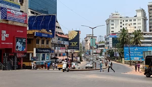
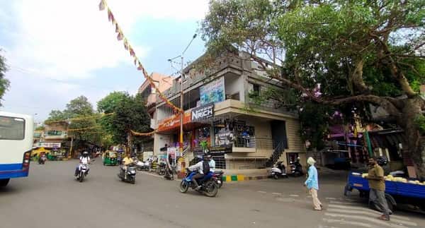
Kurubarahalli Circle (also known as Kurubarahalli Chouraha) is a busy and important traffic junction in West Bengaluru, Karnataka. Located in the Basaveshwaranagar / Kamalanagar area along Pipeline Road, it serves as a key connectivity point for residents in Kurubarahalli, Kaverinagar, AGB Layout, Laggere, and surrounding localities.
The circle is surrounded by well-established residential neighbourhoods, schools, hospitals, markets, and small commercial establishments. It is popular among middle-class families for its decent connectivity, proximity to major roads, and improving infrastructure. The area falls under PIN 560079 and is administered by Bruhat Bengaluru Mahanagara Palike (BBMP) West Zone.
Kurubarahalli Circle Location
- Address: Kurubarahalli Circle, Pipeline Road, Near Rajkumar Statue / Kamalanagar, Basaveshwaranagar, Bengaluru, Karnataka — 560079
- Pin Code: 560079
- STD Code: 080
- Administrative Zone: West Zone / Basaveshwaranagar Ward, BBMP
| Reference Point | Distance |
| Rajkumar Statue | At / adjacent to the circle |
| Kurubarahalli Bus Stop | Walking distance |
| Kamalanagar Water Tank | 500-800 metres |
| Modi Eye Hospital | Nearby |
| Pipeline Road Junction | Direct |
Directions to Kurubarahalli Circle
From Kempegowda Bus Station (Majestic)
Distance: Approx. 8-10 km. Take BMTC Route 89C or other west-bound buses via Navarang or Rajajinagar. Travel time: 25-40 minutes.
From Yesvantpur Railway Station
Around 6-8 km. Taxi or auto via Tumkur Road or Chord Road. Takes 20-30 minutes.
From Rajajinagar Metro Station
Approx. 3-4 km. Easy 10-15 minutes by auto or feeder bus.
From Malleswaram / Yeshwanthpur
Around 5-7 km via Pipeline Road or Chord Road. 15-25 minutes by road.
From Bengaluru International Airport (BLR)
Approx. 35-40 km. Taxi or cab takes 60-90 minutes via Hebbal or ORR. Airport bus services also available.
From Electronic City / South Bengaluru
Around 25-30 km via Outer Ring Road and connecting roads. Takes 60-90 minutes.
Road Connectivity of Kurubarahalli Circle
Kurubarahalli Circle lies on Pipeline Road, a vital east-west connector in West Bengaluru, with good access to Chord Road and Outer Ring Road.
| Road | Direction | Key Connectivity |
| Pipeline Road | East-West | Kamalanagar to Laggere & further west |
| 60 Feet Road | North-South | Residential colonies & inner areas |
| Towards Basaveshwaranagar | East | Major residential & commercial hub |
| Towards Nandini Layout / Rajajinagar | South-East | City centre direction |
The junction has moderate to heavy traffic and benefits from recent road widening works.
Public Bus Connectivity (BMTC)
Kurubarahalli is well-served by BMTC (Bangalore Metropolitan Transport Corporation) buses. The Kurubarahalli Bus Stop and nearby stops on Pipeline Road have frequent services.
Key routes include 89C (towards Majestic), services to Rajajinagar, Yeshwanthpur, Nandini Layout, and other parts of the city. Buses start early morning (around 5-6 AM) and run till 10-11 PM. Route 89C is one of the popular direct services to Kempegowda Bus Station.
Metro Connectivity
| Station | Line | Distance | Notes |
| Mahalakshmi Metro Station | Green Line | 2-2.5 km | Nearest metro — 25-30 min walk or short auto ride |
| Rajajinagar Metro Station | Green Line | 3-4 km | Good interchange option |
| Balagangadharanatha Swamiji Station | Purple Line | ~5 km | Further alternate |
Green Line provides excellent connectivity to Majestic, Yeshwanthpur, and other parts of Bengaluru.
Railway Connectivity
| Station | Distance | Notes |
| Yesvantpur Junction (YPR) | 6-8 km | Major station with good connectivity |
| KSR Bengaluru City Railway Station (SBC) | 10-12 km | Main railway terminus |
| Tumkur Road Railway Station | Nearby alternate |
Airport Connectivity
Kempegowda International Airport is approximately 35-40 km from Kurubarahalli Circle. Taxi or app cabs take 60-90 minutes. BMTC airport buses and KIA Express services are also available from nearby major stops.
Nearby Areas and Landmarks
| Landmark / Area | Distance | Description |
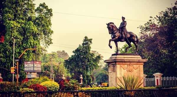
| Rajkumar Statue | At the circle | Iconic landmark of actor Rajkumar |
| Kaverinagar / AGB Layout | Adjacent | Dense residential neighbourhoods |
| Modi Eye Hospital | Nearby | Reputed healthcare facility |
| Basaveshwaranagar Market | 1-2 km | Shopping & daily needs |
| Shankara Mutt | 2-3 km | Cultural & religious landmark |
| Navarang Theatre | 2-3 km | Popular cinema hall area |
The area has a good mix of residential societies, schools, banks, eateries, and parks.
Why Kurubarahalli Circle is Convenient
- Strategic location in West Bengaluru with decent road networks.
- Good public transport via BMTC and proximity to Green Line Metro.
- Affordable residential area compared to central Bengaluru.
- Close to employment hubs like Rajajinagar and Yeshwanthpur.
- Improving infrastructure and connectivity.
- Balanced lifestyle with essential amenities nearby.
Kurubarahalli Circle is ideal for families and working professionals seeking a practical location in West Bengaluru.
Frequently Asked Questions (FAQs)
Q1. Where is Kurubarahalli Circle located in Bengaluru?
A: It is at the junction on Pipeline Road in the Basaveshwaranagar / Kamalanagar area, PIN 560079, West Bengaluru.
Q2. Which is the nearest Metro station to Kurubarahalli Circle?
A: Mahalakshmi Metro Station (Green Line) is around 2-2.5 km away.
Q3. How far is Kurubarahalli Circle from Majestic (Kempegowda Bus Station)?
A: Approximately 8-10 km. It takes 25-40 minutes by BMTC bus or cab.
Q4. Which buses serve Kurubarahalli Circle?
A: Multiple BMTC routes including 89C and other west Bengaluru services. Kurubarahalli Bus Stop is the main halt.
Q5. How far is Kurubarahalli Circle from Bengaluru Airport?
A: Around 35-40 km. Taxi or cab takes 60-90 minutes.
Kurubarahalli Circle represents the practical and growing residential character of West Bengaluru. With reliable bus services, metro access, and improving roads, it continues to be a convenient landmark for daily commuters and residents in this part of the city.