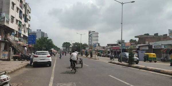
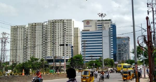
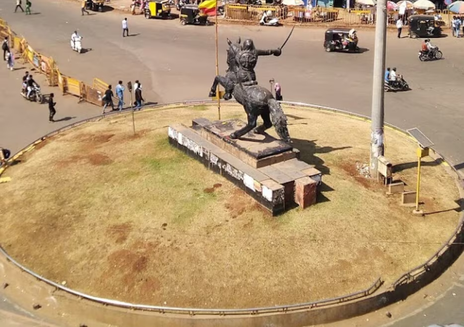
Dwarka Circle — one of Nashik’s most important, most frequently visited, and most traffic-busy roundabout junctions — is the primary gateway intersection at which the Mumbai–Agra National Highway (NH-3 / NH-160) enters Nashik city from the south. The circle is the decisive road junction where vehicles arriving from Mumbai take the left turn into Nashik city, those heading to Nashik Road Railway Station and onward toward Shirdi take the right, and through traffic toward HAL Ozar township and beyond via Dhule, Bhusawal, and Agra continues straight. This three-directional highway significance makes Dwarka Circle not merely a local landmark but a nationally important road navigation node — a junction that processes an enormous volume of NH-3 highway traffic every day. Rated 4.10 out of 5 on the basis of 62 community reviews, and recognised as a historical landmark in Nashik’s urban context, the circle serves as the daily transit and orientation reference for residents of the Dwarka, Vaidya Nagar, Renuka Nagar, Gulshan Colony, and surrounding residential localities.
Location
Address: Dwarka Circle, Mumbai–Agra Highway (NH-3 / NH-160), Dwarka, Nashik — 422011, Maharashtra
Pin Code: 422011
Post Office: Dwarka Corner
STD Code: 0253
Administrative Zone: Nashik Central Assembly Constituency — Nashik Municipal Corporation (NMC)
| Reference Point | Distance |
| Nasik Road Railway Station | 2.69 kilometres |
| Nashik City Railway Station (Nashik Terminus) | 4 kilometres |
| Nashik CBS (Central Bus Stand) | 4 kilometres |
| Dwarka locality (Nashik) | Adjacent |
| Vaidya Nagar | 1 kilometre |
| Renuka Nagar | 1.3 kilometres |
| Gulshan Colony | 500 metres |
| Nashik City Centre (MG Road / Sharanpur Road) | 5 kilometres |
| HAL Ozar Airport | 20 kilometres |
| Nashik–Pune Highway junction | 3 kilometres |
| Mumbai | 165 kilometres |
Directions to Dwarka Circle
From Mumbai (via NH-3 / NH-160)
Drive northeast on the Mumbai–Agra National Highway (NH-160) → continue past Igatpuri and Ghoti → as you enter the Nashik southern approach, Dwarka Circle is the first major city junction encountered on the right — approximately 165 kilometres from Mumbai — 3 to 3.5 hours by road.
From Nasik Road Railway Station
Take the Nashik–Pune Road (NH-160 approach) northward → approximately 2.69 kilometres → Dwarka Circle. 8 to 12 minutes by auto-rickshaw or local bus.
From Nashik CBS (Central Bus Stand)
Take Sharanpur Road southward → continue via Nashik Road → 4 kilometres → Dwarka Circle. 12 to 18 minutes by MSRTC city bus or auto-rickshaw.
From Shirdi
Take NH-60 southwestward toward Nashik → enter Nashik via the Nashik–Shirdi Road → at the highway junction near Nashik Road → take Nashik–Pune Road southward → Dwarka Circle approximately 80 kilometres from Shirdi — 1.5 to 2 hours.
From Pune (via Nashik–Pune Road / NH-61)
Drive northward on NH-61 → enter Nashik via the Nashik–Pune Road approach → Dwarka Circle is the first major junction encountered on the NH-3 at the southern city edge — approximately 215 kilometres — 4 to 4.5 hours from Pune.
Road Connectivity
| Road | Direction | Connectivity |
| Mumbai–Agra Highway (NH-3 / NH-160) — Southbound | South toward Mumbai | Mumbai, Igatpuri, Ghoti |
| NH-3 / NH-160 — Northbound (Straight from circle) | North toward Ozar, Dhule | HAL Ozar Airport, Dhule, Bhusawal, Agra |
| Nashik Road — Right Turn from circle | East toward Nashik Road | Nasik Road Railway Station, Shirdi Road |
| Nashik City Road — Left Turn | West into Nashik city | Nashik CBS, Sharanpur Road, Nashik city centre |
| Nashik–Pune Road (NH-61) | South via connector | Pune, Ahmednagar |
| Dwarka–Vaidya Nagar Road | Internal | Vaidya Nagar, Renuka Nagar, residential zone |
MSRTC and City Bus Connectivity
| Route / Service | Service Details |
| MSRTC — Mumbai (Swargate, Dadar, CSMT) | Mumbai–Nashik highway route — multiple daily services |
| MSRTC — Pune | Via Nashik–Pune Road — regular departures |
| MSRTC — Aurangabad | Via NH-160 north — regular departures |
| MSRTC — Shirdi | Via Nashik Road corridor — frequent pilgrimage services |
| MSRTC — Dhule / Bhusawal | Via NH-3 northbound from Dwarka Circle |
| Private AC Buses (zingbus, etc.) | Intercity AC Volvo — boarding at Dwarka Circle |
| Local City Buses (NMC) | Nashik CBS to Nashik Road via Dwarka Circle |
| Auto-Rickshaws | Available throughout the day at and near the circle |
Railway Connectivity
| Station | Distance | Line | Notes |
| Nasik Road Railway Station | 2.69 km | Central Railway — Mumbai–Bhusawal main line | Nearest station — most trains halt here |
| Nashik City Railway Station (Nashik Terminus) | 4 km | Mumbai–Pune–Nashik secondary terminus | City terminus — some trains |
Metro Connectivity
Nashik does not currently have an operational Metro system. The Nashik Metro project — a planned two-corridor network connecting Nashik Road to Nashik CBS and key residential zones — is under development, and Dwarka Circle, as a major junction on the highway corridor, is expected to be served by or proximate to one of the proposed Metro corridors when the project progresses toward completion. Auto-rickshaws, app-based cabs (Ola, Uber), and MSRTC city buses are currently the primary public transit options at Dwarka Circle.
Nearby Areas and Landmarks
| Landmark / Area | Distance | Description |
| Nasik Road Railway Station | 2.69 km | Central Railway — main passenger station for most Nashik trains |
| Nashik CBS (Central Bus Stand) | 4 km | Nashik’s primary MSRTC bus terminal |
| Nashik–Pune Road (NH-61) Junction | 3 km | Southbound highway toward Pune and Ahmednagar |
| HAL Ozar Airport | 20 km | Nashik’s civil and defence airport — Veer Savarkar Airport |
| Dwarka Residential Area | Adjacent | Densely populated urban residential belt |
| Vaidya Nagar | 1 km | Residential and commercial locality |
| Renuka Nagar | 1.3 km | Residential colony |
| Gulshan Colony | 500 metres | Nearby residential settlement |
| Nashik CBS Area (Temples and Godavari ghats) | 5 km | Sacred ghats, Trimbakeshwar Shiva Temple direction |
| Panchavati (Ram Kund) | 7 km | Nashik’s most sacred pilgrimage zone |
Frequently Asked Questions (FAQs)
Q1. Why is Dwarka Circle important in Nashik?
Dwarka Circle is the junction on the Mumbai–Agra Highway (NH-3/NH-160) where traffic entering Nashik from Mumbai either turns left into the city, right toward Nashik Road Railway Station and Shirdi, or continues straight toward Ozar, Dhule, and Agra — making it the city’s primary highway gateway.
Q2. How far is Nasik Road Railway Station from Dwarka Circle?
Approximately 2.69 kilometres — 8 to 12 minutes by auto-rickshaw or city bus.
Q3. Which highways pass through Dwarka Circle?
NH-3 / NH-160 (Mumbai–Agra Highway) passes directly through Dwarka Circle — one of Maharashtra’s most important national highway corridors.
Q4. Is there Metro at Dwarka Circle, Nashik?
No operational Metro exists in Nashik currently. The Nashik Metro project is under development and expected to improve connectivity in this corridor in the future.
Q5. How far is Nashik CBS from Dwarka Circle?
Approximately 4 kilometres — 12 to 18 minutes by MSRTC city bus or auto-rickshaw via Nashik Road.
Q6. What is the PIN code of Dwarka Circle, Nashik?
The PIN code is 422011, with Dwarka Corner as the designated post office for this zone.
Q7. How far is Mumbai from Dwarka Circle?
Approximately 165 kilometres via NH-3 / NH-160 — 3 to 3.5 hours by road under normal traffic conditions.
Q8. Are intercity AC buses available from Dwarka Circle?
Yes. zingbus and other private operators use Dwarka Circle as a boarding and drop-off point for AC Volvo intercity services to Mumbai, Pune, Aurangabad, and Shirdi.