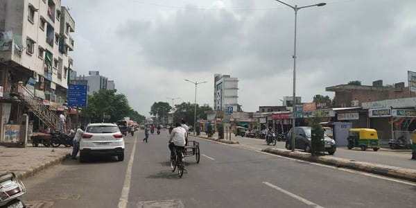
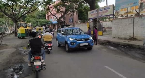
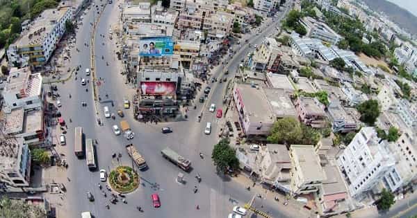
Airoli Circle is one of the most important and busy traffic junctions in Airoli, a well-developed residential and commercial node in Navi Mumbai, Maharashtra. Located along the Thane-Belapur Road, it serves as a vital gateway connecting Mumbai, Thane, and various parts of Navi Mumbai. The area around the circle is bustling with residential societies, markets, hospitals, schools, and offices, making it highly convenient for daily commuters, families, and working professionals.
Airoli is known for its excellent connectivity via road, rail, and buses. The circle lies in a prime location with easy access to the Airoli Railway Station, Mulund-Airoli Bridge, and major highways. PIN code for the area is primarily 400708. It falls under the jurisdiction of Navi Mumbai Municipal Corporation (NMMC).
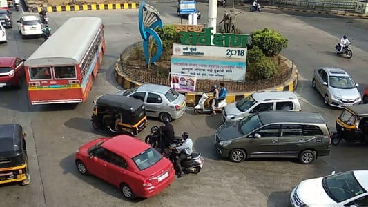
Airoli Circle Location
- Address: Airoli Circle, Thane-Belapur Road, Sector 16 / Sector 9, Airoli, Navi Mumbai, Maharashtra — 400708
- Pin Code: 400708
- STD Code: 022
- Administrative Zone: Airoli Node, Navi Mumbai Municipal Corporation (NMMC)
| Reference Point | Distance |
| Airoli Bus Station | 500-800 metres |
| Airoli Railway Station | 800 metres – 1 km |
| Indravati Hospital | Within 1 km |
| Nearby Markets / Shopping | Walking distance |
| Mulund-Airoli Bridge | 1-2 km |
Directions to Airoli Circle
From Thane Railway Station
Distance: Approx. 7-8 km. Take a local train (8 minutes) or taxi/auto via Thane-Belapur Road. Travel time: 15-25 minutes by road.
From Mulund
Very close via Mulund-Airoli Bridge — around 4-6 km, 10-15 minutes by car or bus.
From Vashi / CBD Belapur
Approx. 12-15 km via Palm Beach Road or Sion-Panvel Highway. Takes 25-40 minutes.
From Mumbai CST / Dadar
Take Harbour Line local train to Airoli or use taxis via Eastern Express Highway. Road distance from South Mumbai: 25-30 km.
From Chhatrapati Shivaji Maharaj International Airport (BOM)
Around 21-25 km. Taxi or cab takes 60-90 minutes depending on traffic. You can also take train+bus combination.
From Navi Mumbai Airport (Ulwe)
Newer airport is farther — approx. 30-35 km via upcoming routes.
Road Connectivity of Airoli Circle
Airoli Circle is strategically placed on the Thane-Belapur Road, a major arterial road. The Mulund-Airoli Bridge provides direct access to Mumbai suburbs. Ongoing projects like Airoli-Katai Naka Freeway and Ghansoli-Airoli Bridge will further enhance connectivity.
| Road | Direction | Key Connectivity |
| Thane-Belapur Road | North-South | Thane to Belapur / Navi Mumbai |
| Mulund-Airoli Bridge | East | Direct link to Mulund & Eastern suburbs |
| Towards Rabale / Ghansoli | South | Industrial & residential zones |
| Internal Sector Roads | West | Airoli Sectors 1-20 & residential areas |
The junction benefits from wide roads and flyovers that ease peak-hour traffic.
Public Bus Connectivity (NMMT & BEST)
Airoli has an excellent bus network operated by Navi Mumbai Municipal Transport (NMMT) and BEST. Airoli Bus Station (near the railway station) is a major depot.
Many routes connect Airoli to Thane, Mulund, Vashi, Chembur, Sion, and beyond. Key routes include 501 LTD, 523 LTD, and various AC & ordinary buses. Buses start early (around 5-6 AM) and run till late night. You can use the Chalo app or NMMT apps for live tracking.
Metro Connectivity
Mumbai Metro is expanding rapidly. Airoli is expected to benefit from upcoming lines connecting to Thane Metro and Navi Mumbai Metro corridors. Currently, residents use nearby stations or rely on road/rail for interchanges.
Railway Connectivity
| Station | Distance | Notes |
| Airoli Railway Station | 800m – 1 km | Harbour Line (Thane-Turbhe-Nerul/Panvel). Excellent connectivity to Thane (8 min), CST Mumbai, Vashi & Panvel. |
| Rabale Railway Station | 2.5-3 km | Nearby alternate station |
| Thane Railway Station | 7-8 km | Major junction for long-distance trains |
Airoli station is a key stop on the Trans-Harbour / Harbour Line network.
Airport Connectivity
- Chhatrapati Shivaji Maharaj International Airport (BOM): 21-25 km, 60-90 minutes by road.
- Navi Mumbai International Airport (Ulwe): 30-35 km, improving with new infrastructure.
Nearby Areas and Landmarks
| Landmark / Area | Distance | Description |
| Indravati Hospital / NMMC Hospital | 500m – 1.5 km | Leading multi-specialty hospitals |
| Airoli Market / Shopping Areas | Walking distance | Daily needs, vegetables & retail |
| R-Mall (Thane) / Viviana Mall | 6-8 km | Major shopping & entertainment destinations |
| Mindspace / Rabale MIDC | 3-5 km | IT & corporate offices |
| Schools & Colleges | Within 1-3 km | Reputed educational institutions |
| Mulund West | 5-7 km | Popular Mumbai suburb across the bridge |
Airoli offers a good mix of residential societies, markets, parks, and commercial spaces.
Why Airoli Circle is Convenient
- Superb road and railway connectivity to Mumbai & Thane.
- Affordable yet developed residential area with good social infrastructure.
- Close to industrial/IT hubs for employment.
- Upcoming elevated corridors and metro plans promise even better future connectivity.
- Balanced lifestyle with creeks, greenery, and urban facilities.
Airoli Circle is a preferred landmark for anyone living or working in northern Navi Mumbai.
Frequently Asked Questions (FAQs)
Q1. Where is Airoli Circle located in Navi Mumbai?
A: It is at the junction on Thane-Belapur Road in Sector 16/9, Airoli, Navi Mumbai — PIN 400708.
Q2. How far is Airoli Circle from Airoli Railway Station?
A: Approximately 800 metres to 1 km — easily walkable or a short auto ride.
Q3. Which buses serve Airoli Circle?
A: Multiple NMMT and BEST buses towards Thane, Mulund, Vashi, and Mumbai suburbs. Airoli Bus Station is the main hub.
Q4. How to reach Thane from Airoli Circle?
A: Just 7-8 km. Local train from Airoli Station takes 8 minutes, or 15-25 minutes by road.
Q5. Is Airoli good for living and investment?
A: Yes, it offers excellent connectivity, schools, hospitals, and future growth potential due to infrastructure projects.
Airoli Circle truly represents the fast-paced, well-connected life of modern Navi Mumbai. Whether you are a daily commuter, family settling down, or investor, this junction remains one of the most practical and accessible locations in the entire MMR region. With ongoing development, its importance is set to rise even higher in the coming years.