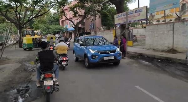
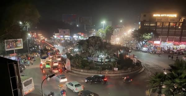
Paras Circle — the prominent roundabout and daily transit landmark in the Khanjipeer / Shakti Nagar zone of central Udaipur — is one of the City of Lakes’ most important neighbourhood transit nodes, rated 4.90 out of 5 based on 7 community reviews and also rated 4.2 out of 5 on Justdial, serving as a key gathering and boarding point for residents and travellers navigating the heart of the old city’s northwestern residential belt. Located on the Khanjipeer Road in PIN 313001 — the same zone that encompasses the Chamanpura, Hathipole, and Chetak Circle neighbourhoods — Paras Circle sits in a medically and commercially vibrant part of Udaipur that is flanked by Maharana Bhupal Government Hospital (RNT Medical College and Hospital), multiple private clinics including Kothari Dental Clinic, Emerald Tower on Ashwani Marg, and the Shahibag-adjacent residential colony networks. Udaipur City Railway Station (UDZ) is approximately 1.92 kilometres from Paras Circle — confirming it as one of the most rail-proximate circles in the inner-city Udaipur zone. Paras Circle is an officially listed well-liked boarding point for RSRTC and private intercity buses in Udaipur, and is also served by the UCTS (Udaipur City Transport Services Limited) city bus network. Chetak Circle — one of Udaipur’s most celebrated junctions — is just 200 metres away, making the Paras Circle–Chetak Circle corridor the most transit-dense stretch in central Udaipur.
Paras Circle Location
- Address: Paras Circle, Khanjipeer, Shakti Nagar, Chamanpura, Udaipur, Rajasthan — 313001
- Pin Code: 313001
- STD Code: 0294
- Administrative Zone: Udaipur Assembly Constituency — Udaipur District, Udaipur Division
| Reference Point | Distance |
| Chetak Circle | 200 metres |
| Maharana Bhupal Government Hospital (RNT Medical College) | 200 metres |
| Hathipole | 400 metres |
| Paras Prime Mall (opposite Vishal Store, Hiranmagri Sector-11) | 500 metres |
| Udaipur City Railway Station (UDZ) | 1.92 kilometres |
| Rana Pratap Nagar Railway Station | 3 kilometres |
| Udaipur City Bus Depot (RSRTC) | 1.5 kilometres |
| Saheliyon Ki Bari | 2 kilometres |
| Fateh Sagar Lake | 3.5 kilometres |
| Maharana Pratap Airport (Dabok) | 22 kilometres |
| City Palace, Udaipur | 3 kilometres |
Directions to Paras Circle
From Udaipur City Railway Station (UDZ)
Exit the station → take auto-rickshaw or city bus northward via Station Road → approximately 1.92 kilometres — 5 to 8 minutes. Auto-rickshaw fare approximately ₹60 to ₹80.
From Maharana Pratap Airport (Dabok)
Take RSRTC bus or cab → enter city via NH-162 / NH-48 → continue toward Chetak Circle zone → approximately 22 kilometres — 35 to 50 minutes.
From City Palace / Jagdish Temple
Take auto-rickshaw northwestward via City Station Road or Hathipole Road → approximately 3 kilometres — 8 to 12 minutes.
From Chetak Circle
Walk or take auto-rickshaw northward on Chetak Marg → approximately 200 metres — 3-minute walk.
From Fateh Sagar Lake
Take auto-rickshaw eastward via Fateh Sagar Road → approximately 3.5 kilometres — 8 to 12 minutes.
Road Connectivity Paras Circle
| Road | Direction | Connectivity |
| Khanjipeer Road | North–South | Shakti Nagar (north) — Hathipole, Chetak Circle (south) |
| Chetak Road (via Chetak Circle) | South | Chetak Circle, Hathipole, City Station Road |
| Hospital Road (NH-76A direction) | Adjacent | Maharana Bhupal Government Hospital, RNT Medical College |
| Fateh Sagar Road | West | Fateh Sagar Lake, Moti Magri, Bhartiya Lok Kala Mandal |
| Ashwini Bazar Road | Adjacent | Ashwini Bazar, Basti Ram Ki Badi residential zone |
| Saheli Marg | South toward Madhuban | Madhuban, Chetak Circle, Saheliyon Ki Bari approach |
UCTS City Bus and Transit Connectivity Paras Circle
| Route / Service | Service Details |
| UCTS City Bus Routes | Paras Circle is an officially listed boarding point on UCTS city bus routes — buses on Routes 1, 2, 3, 4, and 7 serve the Chetak Circle–Paras Circle–Hathipole corridor |
| RSRTC — Intercity Boarding | Paras Circle is a well-liked RSRTC boarding point — intercity buses to Jaipur, Jodhpur, Ahmedabad, Mount Abu, Chittor, and Kota stop near the circle |
| Private Intercity Buses | Private operators boarding near Paras Circle zone for routes to Delhi, Mumbai, Ahmedabad, Surat, and Bengaluru |
| Auto-Rickshaw | Available throughout the day — most practical transit mode at Paras Circle |
| E-Rickshaw | Active in the Chetak Circle–Hathipole belt |
| App-Based Cab | Ola, Uber, Rapido active in Udaipur city |
UCTS city bus operating hours: 6:00 AM to 9:00 PM approximately. Fare: ₹5 per 3 kilometres.
Metro Connectivity Paras Circle
Udaipur does not have an operational Metro system as of 2026. The compact heritage layout of the city and the existing road and auto-rickshaw network serve all connectivity needs within the city. UCTS city buses and RSRTC provide the primary public transit options at Paras Circle.
Railway Connectivity Paras Circle
| Station | Distance | Line | Notes |
| Udaipur City Railway Station (UDZ) | 1.92 km | North Western Railway | Main Udaipur terminus — Mewar Express, Chetak Express, Aravali Express |
| Rana Pratap Nagar Railway Station | 3 km | North Western Railway | Secondary halt — some trains stop |
Nearby Areas and Landmarks Paras Circle
| Landmark / Area | Distance | Description |
| Chetak Circle | 200 metres | Udaipur’s most celebrated market circle — Chetak statue junction |
| Maharana Bhupal Government Hospital (RNT Medical College) | 200 metres | Udaipur’s largest government hospital and teaching institution |
| Hathipole | 400 metres | Famous old city gateway and heritage landmark |
| Paras Prime Mall | 500 metres | Shopping mall with Vishal Store — Hiranmagri Sector-11 |
| Kothari Dental Clinic | Adjacent | Prominent clinic near the Paras Circle zone |
| Saheliyon Ki Bari | 2 km | Iconic 18th-century royal garden |
| City Palace, Udaipur | 3 km | Udaipur’s most iconic palace complex — museum and heritage hotel |
| Fateh Sagar Lake | 3.5 km | Scenic lake — evening sunset destination |
Frequently Asked Questions (FAQs)
Q1. Where is Paras Circle located in Udaipur?
A: Paras Circle is on Khanjipeer Road, Shakti Nagar, Chamanpura, Udaipur — PIN 313001 — rated 4.90/5 based on 7 reviews, approximately 1.92 kilometres from Udaipur City Railway Station and 200 metres from the famous Chetak Circle.
Q2. How far is Paras Circle from Udaipur Railway Station?
A: Approximately 1.92 kilometres — a 5 to 8-minute auto-rickshaw ride costing ₹60 to ₹80.
Q3. Which city bus routes serve Paras Circle?
A: UCTS city bus Routes 1, 2, 3, 4, and 7 serve the Chetak Circle–Paras Circle corridor. Paras Circle is also an officially listed RSRTC and private bus boarding point for intercity routes.
Q4. What hospital is near Paras Circle?
A: Maharana Bhupal Government Hospital (RNT Medical College and Hospital) is approximately 200 metres away — Udaipur’s largest government hospital and one of Rajasthan’s major teaching medical institutions.
Q5. What is near Paras Circle that makes it a good base for tourism in Udaipur?
A: Its proximity to Chetak Circle (200 m), Hathipole (400 m), Saheliyon Ki Bari (2 km), Udaipur City Railway Station (1.92 km), and Fateh Sagar Lake (3.5 km) make Paras Circle an excellent navigational base for exploring central and lakeside Udaipur.